
By John Hammond
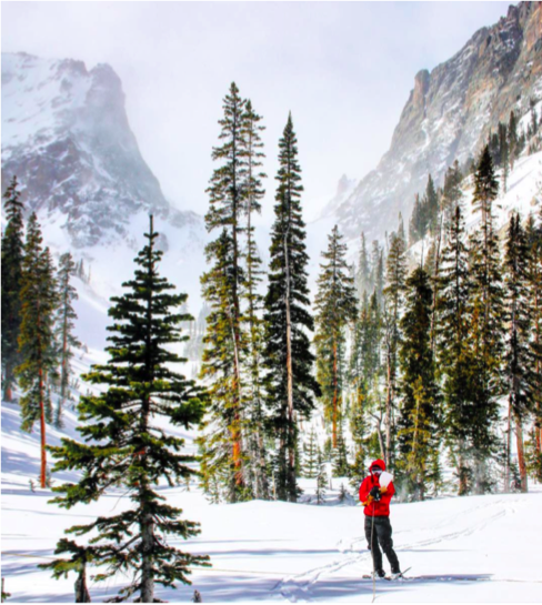
Mountain snowpacks have changed dramatically over the past few decades1-5, and areas conducive to snowfall are forecast to shrink considerably because of regional warming and a shift in precipitation falling as snow to rain6. This has lead researchers to ask: How will water resources be affected by rapid changes in climate? Unfortunately, measurements of snow are few and far between in mountainous terrain and areas near the transition between seasonal and intermittent snow are especially poorly sampled, despite their importance (see Photo 1).
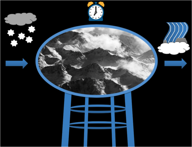
Melt-water from snow and glacial ice are essential for natural and human systems as we know them. The total water stored and the rate at which it is released downstream in the western U.S. is influenced by winter precipitation storage in mountain snowpacks, essentially as natural water towers (see Figure 1). The partitioning of snowmelt into various hydrologic pathways, including deep seepage to groundwater, shallow soil flow and overland flow, as well as the surface-atmosphere energy exchange will likely be affected by changes in climate with ramifications for the water resources of mountainous and downstream areas. Downstream communities of the Central Plains, Midwest, and arid Southwest rely on this melt-water for irrigating crops, providing municipal drinking water and industrial water supplies, and maintaining fluctuating flows for aquatic and terrestrial species.
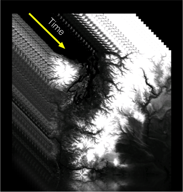
A useful way to identify snow sensitive regions is through ‘snow persistence’, defined as the fraction of year that an area is snow covered, which is easily observed globally using satellite imagery. Time series of snow persistence can also be visually portrayed and analyzed using multiple satellite images and data, see for example the Northern Cascades and Olympics of Washington State to the right (Figure 2). Snow persistence influences streamflow generation by controlling the timing and magnitude of water input. We hope to show that satellite imagery of snow can be used to predict annual water yield ahead of the growing season to aid water users in their decision-making. Our work thus far has shown that snow persistence is a strong predictor of water yield in dry climates, but not wet. Streamflow generation in semi-arid regions may therefore be most sensitive to loss of persistent winter snow.
The next chapters of my PhD will focus on measuring and modeling the movement of snowmelt through the soil into the stream under varying future climatic scenarios in which snow is more or less persistent. Surprisingly little is known about water movement through the soil despite the fact that almost all rain or snowmelt passes through the soil on its way to a stream or river.
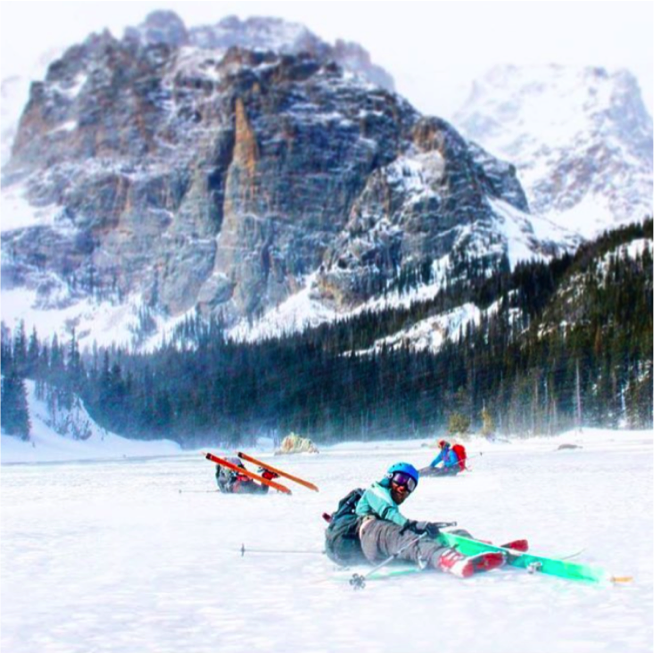
In addition to these studies, I have installed and maintain a total of eight field sites across the Colorado Rocky Mountain from low to high elevation to study mechanisms and pathways of snowmelt and soil moisture at the catchment scale. After a year of fieldwork, I have gained a great appreciation for how difficult it is to keep equipment operating and collecting valuable data, especially in hard to reach, alpine watersheds (see Photo 2). Stay tuned, more on this in the years to come!
John Hammond is a Geosciences PhD student with Stephanie Kampf under the NSF grant “Threshold hydrologic change across the intermittent-persistent snow transition”, Colorado State University.
Connect with EcoPress on social media! Like us on Facebook and follow us on Twitter, @nrel_science, for the more stories and news.
1. Regonda SK, Rajagopalan B, Clark M, Pitlick J (2005) Seasonal cycle shifts in hydroclimatology over the western United States. J Clim 18(2):372–384. 270
2. Stewart IT, Cayan DR, Dettinger MD (2005) Changes toward earlier streamflow timing 271 across western North America. J Clim 18(8):1136–1155. 272
3. Clow DW (2010) Changes in the timing of snowmelt and streamflow in Colorado: A 273 response to recent warming. J Clim 23(9):2293–2306. 274
4. Fritze H, Stewart IT, Pebesma E (2011) Shifts in Western North American Snowmelt 275 Runoff Regimes for the Recent Warm Decades. J Hydrometeorol 12(5):989–1006. 276
5. Harpold A, et al. (2012) Changes in snowpack accumulation and ablation in the 277 intermountain west. Water Resour Res 48(11). 27.
6. Klos PZ, Link TE, Abatzoglou JT (2014) Extent of the rain-snow transition zone in the western U.S. under historic and projected climate. Geophys Res Lett 41(13):4560–4568. 288